
Tremaine Map of Lincoln and Welland Counties – Graham Segger
September 26, 2026 @ 2:30 pm - 4:00 pm
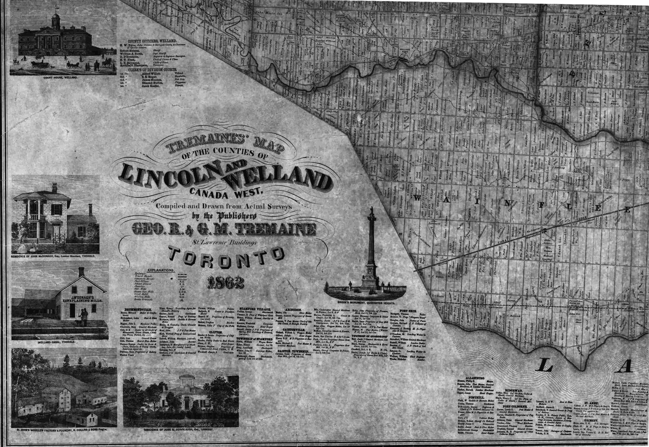
In 1862 Geo. R. & G. M. Tremaine published a marvelous 179 x 125 cm (5.9 x 4.1 feet) wall map of the Counties of Lincoln and Welland. This map contains a tremendous amount of historical detail about the geography and population of Niagara at that time. The borders of the 15 historical townships are outlined with roads, rivers, individual property ownership and business directories. PHS has a copy of this map but it is in such fragile condition that handling it is discouraged. Graham will provide a comprehensive overview of the content of the map with scans and images taken from other copies of the map and will also explain how to view copies in person or online.
© 2025 · The Pelham Historial Society · Designed by Ex Nihilo Designs